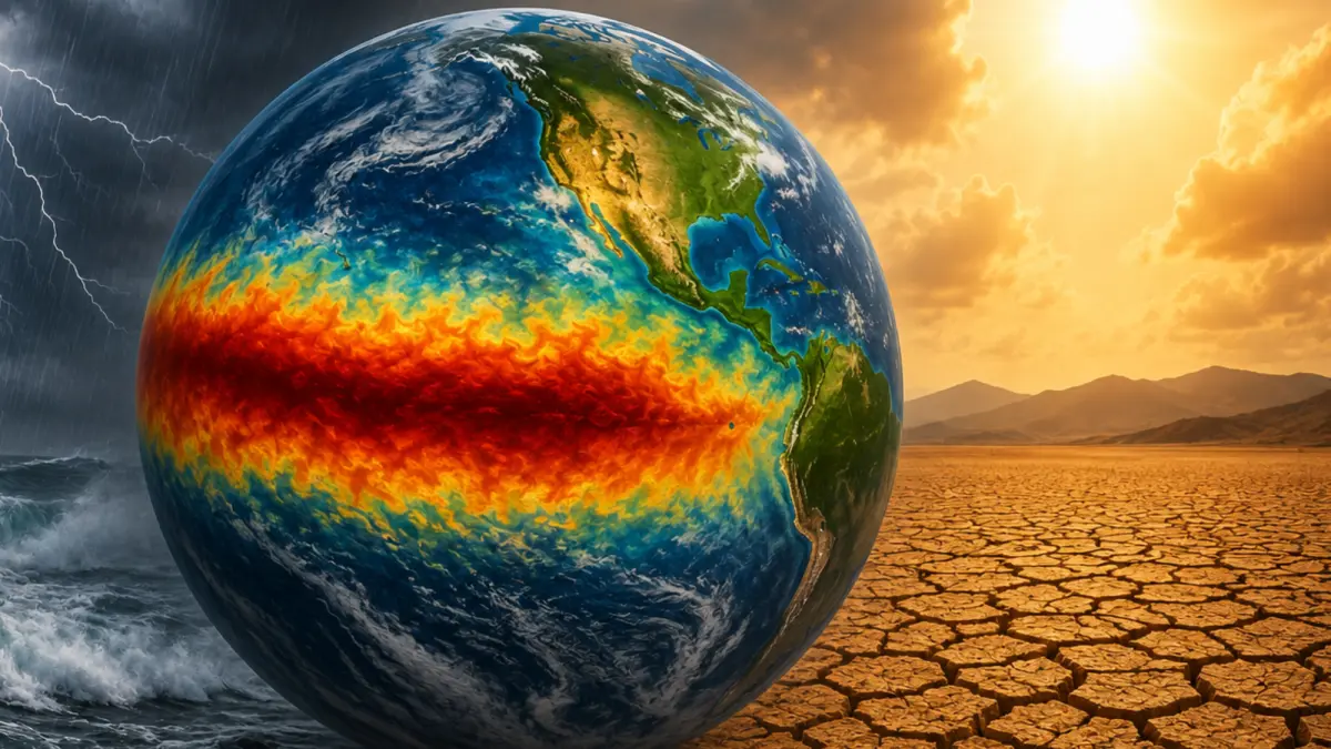
The World Meteorological Organisation said El Niño will continue and may peak toward year-end, bringing heavy rainfall and disruptions. WMO has reported on and warned about the future El Niño.
WMO report on El Niño
On 3rd September, Thursday, the World Meteorological Organisation released a notice saying El Niño is back, and it's a big one.
WMO, based in Geneva, Switzerland, said it is firmly established and will intensify into a very strong event in the coming months, with major impacts on rainfall and temperature patterns and associated risks of flooding, drought, and extreme heat.
It claims that the Pacific climate pattern has firmly set in, will strengthen into a very strong event by the end of 2026, and has a near 100 per cent chance of lasting through February 2027.
El Niño and its impact in the future
WMO says the level of impact cannot be determined from El Niño alone, and that impacts will not be similar everywhere. It said impacts vary by location and season and can be modified by other climate drivers, including conditions in the Indian and Atlantic Oceans.
For India, the immediate hit may be modest, but trouble will likely follow over a longer term, potentially lasting until next spring. Mahesh Palawat, Skymet Vice President, said the withdrawing monsoon will probably escape the worst of it, but the months ahead will not.
He also added that in future, El Niño can alter rainfall distribution and raise temperatures. The sudden withdrawal in the southwest may be limited, but it could influence the northeast monsoon and increase the chance of a warmer-than-normal winter.
Because the exact impacts are uncertain, WMO issued a complimentary Global Seasonal Climate Update that provides detailed information on El Niño, other major climate drivers, and expected conditions.
Temperature Changes in the Dipole and its effects
The WMO forecasts indicate a likelihood of above-normal temperatures across almost all land areas, with rainfall patterns showing a pronounced, classic atmospheric response to the strong Pacific El Niño.
It also reported that a positive phase of the Indian Ocean Dipole (IOD) is expected to develop, reaching a September-October-November 2026 seasonal mean value of 0.9°C.
Meanwhile, the equatorial Atlantic basin is forecast to remain generally warm, with SSTs in both the North and South Tropical Atlantic staying above normal. These conditions may reinforce, weaken or alter typical El Niño impacts in different regions.
El Niño, a natural phenomenon marked by the warming of sea surface temperatures in the eastern Pacific, typically occurs every two to seven years and can last up to 12 months, triggering severe weather patterns such as heavy rains, droughts, and typhoons, especially in Latin America.
The ongoing event, classified among the top four strongest since 1950, has already contributed to a worsening food crisis in Central America's Dry Corridor.
Although naturally occurring, climate change-related ocean warming is intensifying this El Niño. WMO and U.N. officials, including Secretary-General Antonio Guterres, emphasised the urgency of the situation, warning that 2027 may become the warmest year on record.
He also said the average forecast points to an anomaly peaking at plus 3.6C, far higher than the last two very strong El Niños in 1997-98 and 2015-16.
In some areas, sub-surface ocean temperatures were more than 8C above average during July and early August. Saulo called this a huge reservoir of very warm ocean waters that will fuel El Niño's intensity.
In response, WMO is enhancing early warning systems and collaborating with global partners to support adaptive measures in critical sectors such as agriculture, health, and water resources.
El Niño is currently predicted to be very strong and has a high chance of affecting people's daily lives through the end of 2026 and early 2027. India is expected to receive less rainfall, which can increase the likelihood of hotter, drier conditions in some parts of India.